
Middletown Neighbors: Block Record Sources
Public sources answer different block questions. The county GIS viewer supplies the parcel shape and context. An Auditor record supplies defined property and tax fields. A Recorder supplies transactions attached to a parcel or legal description. Ohio voter channels can provide ordinary voter data only through their stated lookup, file, or request routes. MidPointe street guides add a historical listing for a particular edition. These are evidence layers, not a current roll of every person who lives nearby.
| Source | Block Question Answered | Access |
|---|---|---|
| Butler or Warren GIS | Parcel outlines, context layers, and nearby polygons | Public mapping with manual pan and selection |
| County Auditor | Parcel identifier, owner, legal description, and site details | Address, owner, or parcel search |
| County Recorder | Dated deed or instrument parties tied to land | Index, image where offered, counter, or request |
| Ohio and Board voter channels | Lawfully released ordinary registration records | Individual lookup, dated data, file, or request |
| MidPointe street guides | Historic listed address use, names, and intersections | 1891-2000 archive with gaps |
Owners and occupants are not the same category. A record may describe title, a tax attribute, a transaction party, or an earlier directory listing. It cannot prove every household member, and a postal city label alone does not determine which county holds the parcel.
Map a Middletown Block Manually
The verified neighboring-parcel method is manual, not an automated adjacent-address tool. Search the address in the appropriate Butler County mapping service or the Warren County GIS route. Open the target parcel, note its PIN or parcel number, owner, legal description, address components, and map extent. Pan to parcels sharing a boundary or immediately opposite the street. Select each actual polygon before moving to a property record.
- Confirm whether the target parcel is in Butler or Warren County.
- Open its polygon and save the parcel identifier, legal description, and site address.
- Pan or zoom to each touching or across-street parcel, then select that parcel rather than guessing from a similar address.
- Open the matching Auditor record and, where useful, follow a dated Recorder instrument using the same legal description.
Butler parcel data exposes identifiers, owner, legal-description pieces, site-address components, school district, and coded tax attributes. Warren property search offers name, address, parcel, account number, subdivision or lot, and advanced routes. For a whole named street rather than the immediate block, use the Middletown By Street directory.
Middletown Neighbor Parcel Time Layer
The property roll is a starting point, not an answer about current neighbors. In Butler, the Auditor's parcel data can bridge an address to a PIN, PARID, owner spelling, and legal description. In Warren, the Auditor route supplies the parcel number that the Recorder recommends for AVA searching. A legal description is the land identifier used to keep a search on the same parcel when a street number, subdivision wording, or display format changes.
Recorded documents add dates and party roles. The Butler County Recorder Official Record Search accepts a party, subdivision, document type, or document number, with date and index-versus-OCR choices. Warren Recorder says deeds are indexed online through 1797 and most documents have been online since April 20, 2016. A grantor or grantee is a transaction party, not proof that the person lived on the parcel.
The Butler Accela property and record search supplies another address-linked record layer.
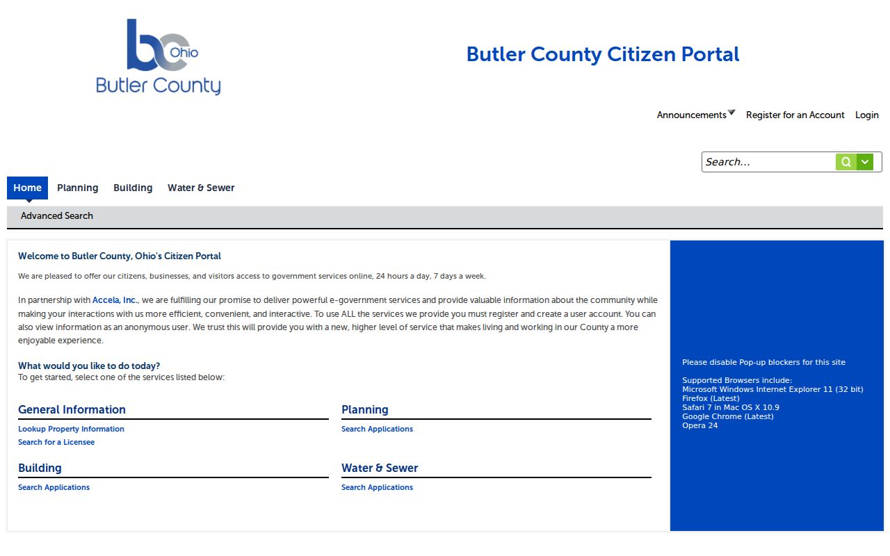
Its address, parcel, owner, and record paths can date a public application or permit, but an application should not be treated as proof of who occupies an address.
Middletown Voter Records Need Limits
Ohio's individual voter search checks registration, precinct, and polling location with first name, last name, and county. It does not offer a one-click street roster. The Butler address polling form also returns a polling place, not names at an address. Ordinary registration records are public under ORC §3503.13 through lawful channels, but protected records and identifiers are excluded. Ballot choices are never a block lookup result.
For Butler-side research, the Butler Election Vault lists a voter-record public-record request and geographic voter files. The file columns were not inspected, so they should not be assumed. Ohio's DATA Act voter page permits selected daily county snapshots and states at least 22 months of retention. A snapshot is historical evidence for its selected date, not a claim about a later address.
The official Butler voter public-record-files route is shown below.
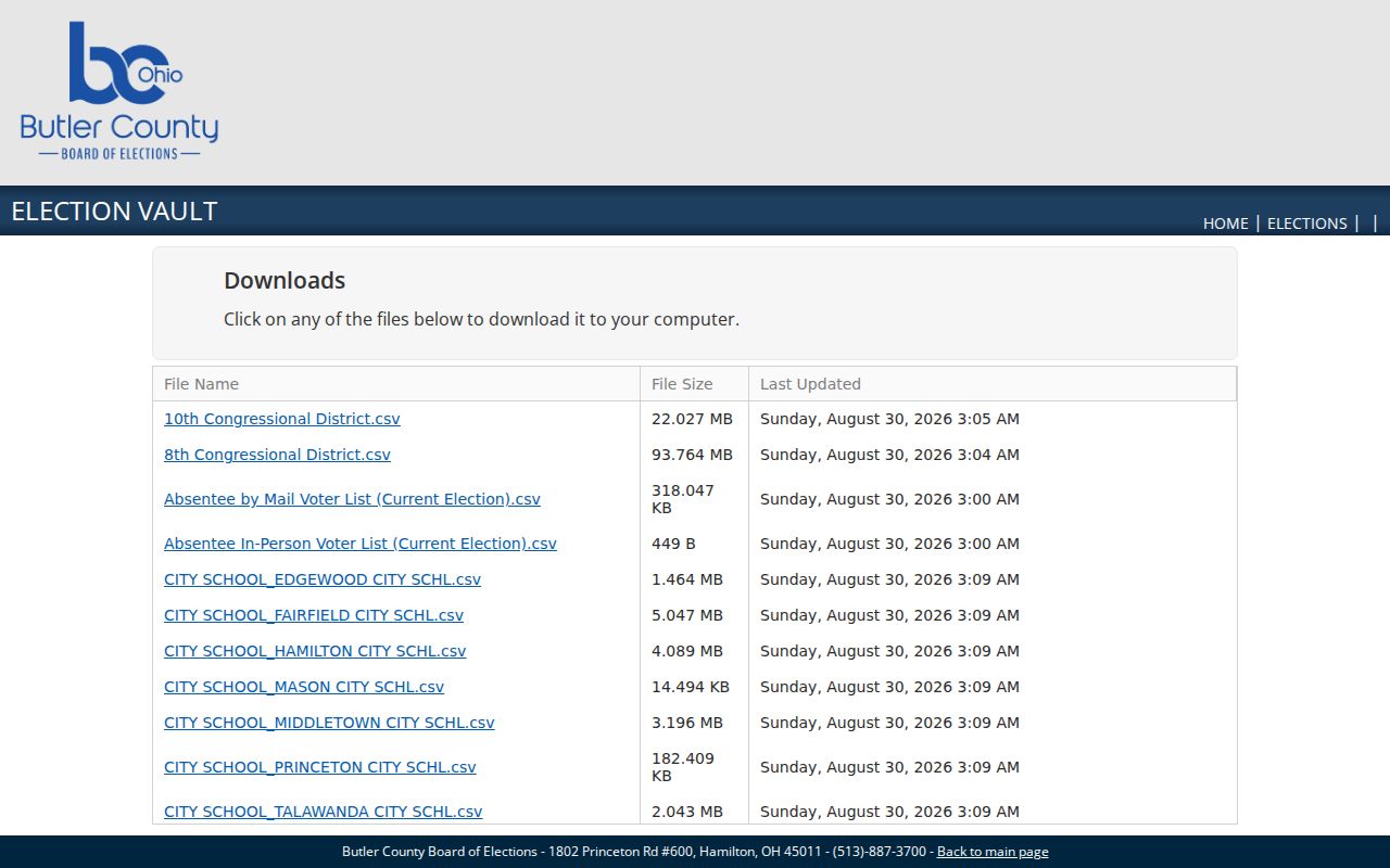
For a record that is not online, make a narrow request with county, time period, geography, and desired format, while respecting protected addresses.
Middletown Neighborhood Names Are Not Rosters
The City's Middletown neighborhood map identifies geographic areas, not associations, membership lists, or current contact rosters. The 35 map names are Amanda/Oneida, Avalon, Barbara Park, Church, Creekview, Dixie Heights, Douglass, Downtown, El Dorado/Williamsdale, Euclid Heights/Runnymede, Far Hills, Greenfields, Harlan Park, Highlands, Lakeside, Lewis/Clifton Farms, Manchester Meadows, Mayfield, Meadowlawn, New England Heights, Northeast, Oakland, Prospect, Renaissance, Riverside Village, Rosedale/The Oaks, Roselawn, Sawyer's Mill, Sherman, South, Springhill, Sunset/Park Place, Thorny Acres/Burnham Woods, University, and Wildwood.
The official neighborhood geography is pictured below.
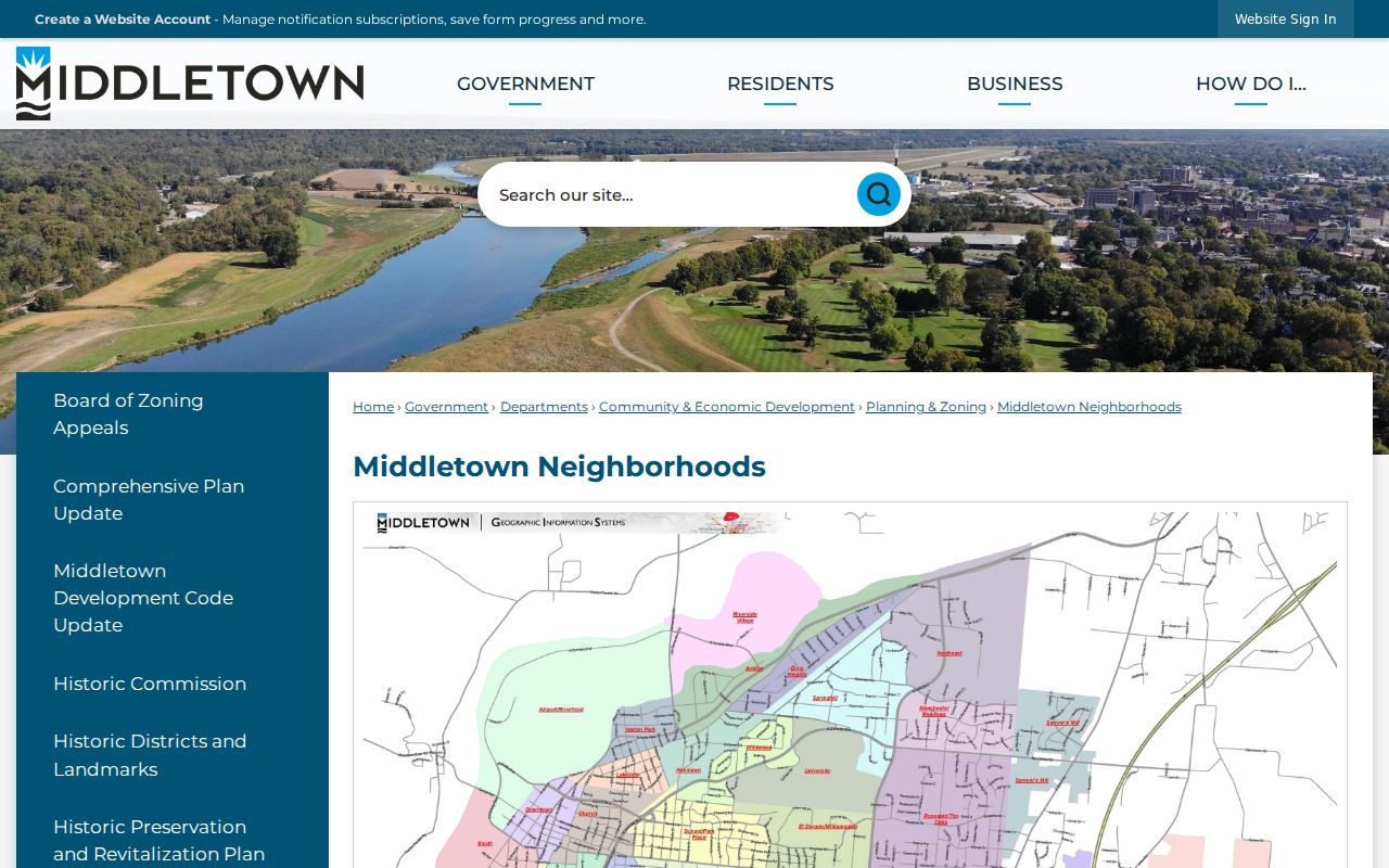
Use a neighborhood name as map context when comparing a parcel, historic directory, or preservation record, never as proof that a person belongs to a group. The City referred to 16 Neighborhood Watch groups in a 2014 publication, but that is historical information, not evidence of a current roster or contact list. For a current civic safety question, start with the City Police or Quick Links route and ask the responsible office about the appropriate contact channel.
Earlier community research has different sources. The 1926 Williams directory includes a Societies and Organizations section, while the Middletown Historical Society reports collections containing Chamber of Commerce, church, industry, school-yearbook, city-ledger, journal, deed, and other historical material. Those collections can help date an organization or place, but they should not be used to infer present membership.
When contacting an archive or library, provide a name spelling or variant, an approximate decade, a street or building, an organization, and the kind of material sought. Ask about on-site review, indexing, reproduction rules, and any current fees. That approach respects the difference between a preserved historical collection and a current contact directory.
City Neighborhood Map
Use the City map to name a geographic area. It does not publish a member list.
Police Neighborhood Watch Route
City Police and Quick Links are the verified official starting point for civic safety contact. A current group roster was not located.
Historical Society
The Society can be asked about a named place, organization, or decade. Its archives are historical material, not a current membership directory.
Historic Middletown Neighbors by Address
For an earlier block, MidPointe's City Directory Collection is the address-era layer. Its 1926 Williams Street and Avenue Guide records Central Avenue in number order and includes cross-street cues, individual names, businesses, rooms, vacancies, and other uses. The collection covers 1891 through 2000 with stated gaps. OCR can be wrong, so read the scanned page and preserve the directory year, image page, street heading, number, and intersection.
A historic street entry means that a person, business, rooming use, or vacancy was listed for that edition. It does not prove continuous occupancy or a modern relationship to the parcel. If an old address does not match current mapping, compare the cross street, Sanborn sheet, legal description, and deed trail. City Code allows annexed areas to be renumbered when inconsistent with the block grid and allows duplicate street names to change.
Middletown Neighbor Tool Comparison
Official records and commercial neighbor tools serve different purposes. A commercial compilation may be convenient, but it can be stale, incomplete, or unclear about the record date. It does not replace the county custodian. For a block question, start with a map and parcel record, then use the Recorder for a dated transaction and a historic directory for a past listing.
| Official record route | Commercial compilation category |
|---|---|
| Shows a defined field or dated document from the responsible public custodian. | May combine material from different dates and sources. |
| Lets the reader verify a parcel, legal description, case, or record number with the holder. | May not identify its source, update timing, or local routing. |
| Preserves Safe at Home, protected-voter, sealing, and redaction boundaries. | Cannot override a custodian's privacy restriction. |
Middletown Neighbor Privacy Boundaries
A parcel map and Auditor record do not disclose all people inside a home. Safe at Home participant addresses, protected-worker redactions, sealed court information, restricted vital fields, utility-customer data, and motor-vehicle personal information remain outside a neighbor lookup. Do not combine open sources to work around a protected address. The Ohio Safe at Home program is a confidentiality route for eligible people, not an invitation to search further.
The Middletown Police Records page is a separate public-records route for specific reports.
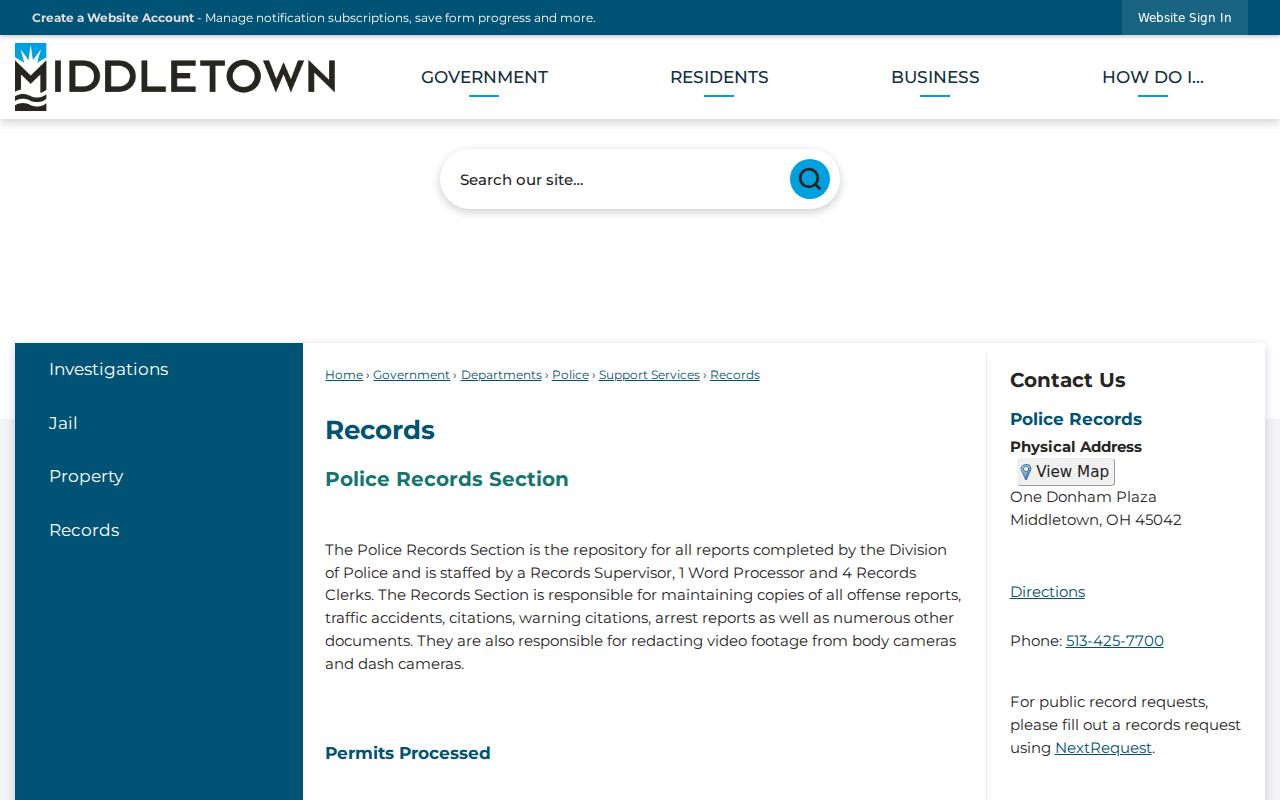
Police report access has its own availability and redaction rules and should not be used as a substitute for property or civic records.
The Butler County Sheriff court and jail information is likewise separate from ordinary block research.
A custody listing is time-sensitive and not a record of a person's present home. Note: Lawful personal research never permits stalking, harassment, intimidation, or harm.